The good thing about a blog is sometimes you can post a group of pictures that perhaps might never see the light of day, putting them on my blog as a small collection people get to see what I see, photographs of the unseen parts of Britain.
The new fashion of intergrating GPS into cameras would be of major use to me, as given the speed of flight and the number of photos I take, many of the following I can't identify the locations, I don't have a clue.
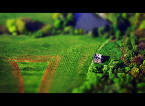
One or two have been given a "tilt-shift" finish, so here we go, I will try and give a county or town where I can.
First off is a listen post type place hidden by trees, I took this one on the way to Raf Duxford, its located in the Lincolnshire area.
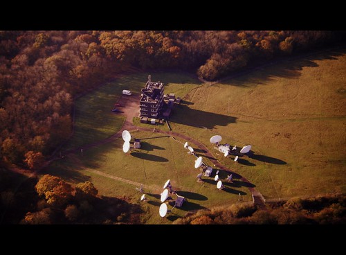
Cambridgeshire ???

This next one I do know, Scout Moor, Edenfield, Lancashire

Ramsbottom, Helmshore ? Its that kind of area.
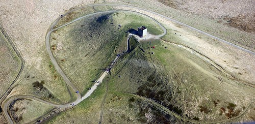
Rivington Pike, Lancashire.
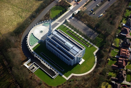
The Mormon Temple, Chorley, Lancashire.
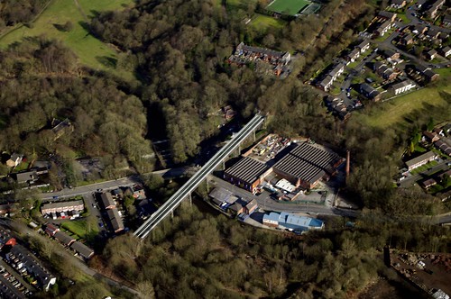
Had to post this, as its a local landmark, the disused Darcy Lever viaduct in Bolton, people drive under it, Urbexers climb it, but I've never seen a picture of the old girl from the air.
Yorkshire, a little set from an industrial site we flew over on a trip to Northumberland.
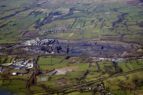

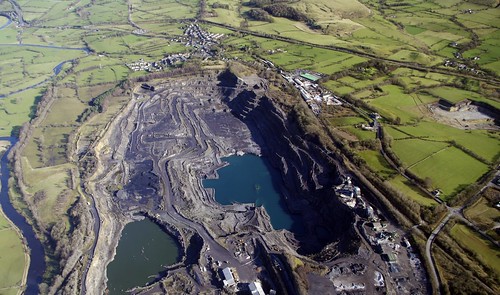
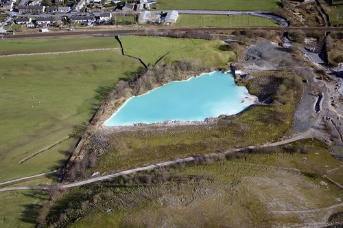
Another quarry, it has a pool of water with worryingly strange colour.
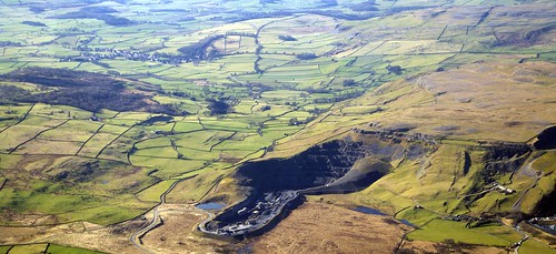
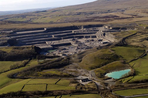

But is it toxic ?
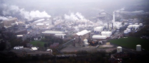
Final pic, I just don't have a clue, at a wild, wild guess South Yorkshire.
More to follow, but you might want to have a gander at a few location specific posts of mine such as
Whittingham Asylum - from the air
The Lake District - from the air
Northumberland - from the air
Loving the Urbex and the tilt shift aerial photos! Keep it up!
ReplyDelete